Our Work
Projects
Explore our portfolio of aerial imaging projects across the UK, from construction progression to 360° surveys.
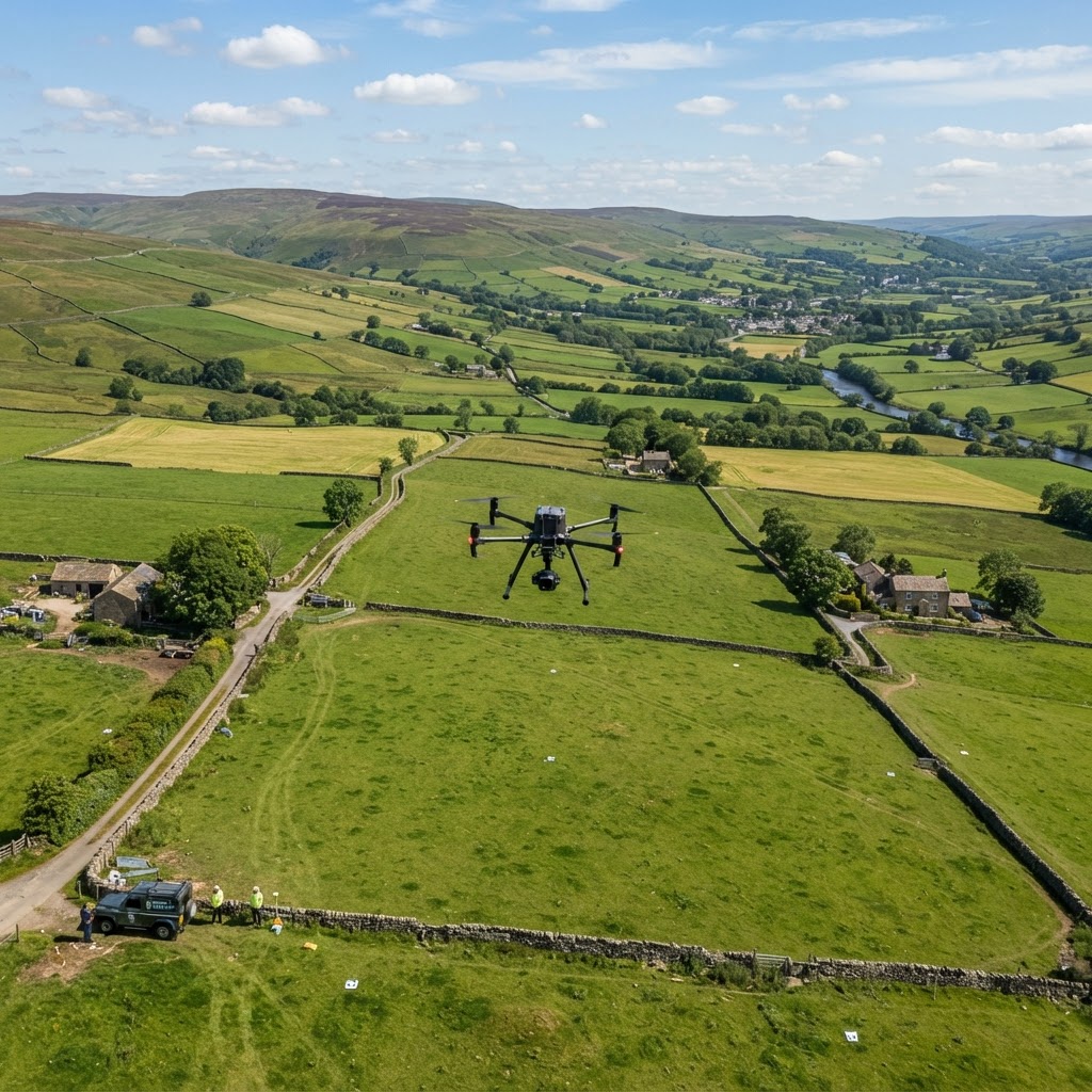
Complete 360° aerial panoramas of a large-scale industrial park redevelopment, used for stakeholder presentations and planning submissions.
London Industrial Park Survey
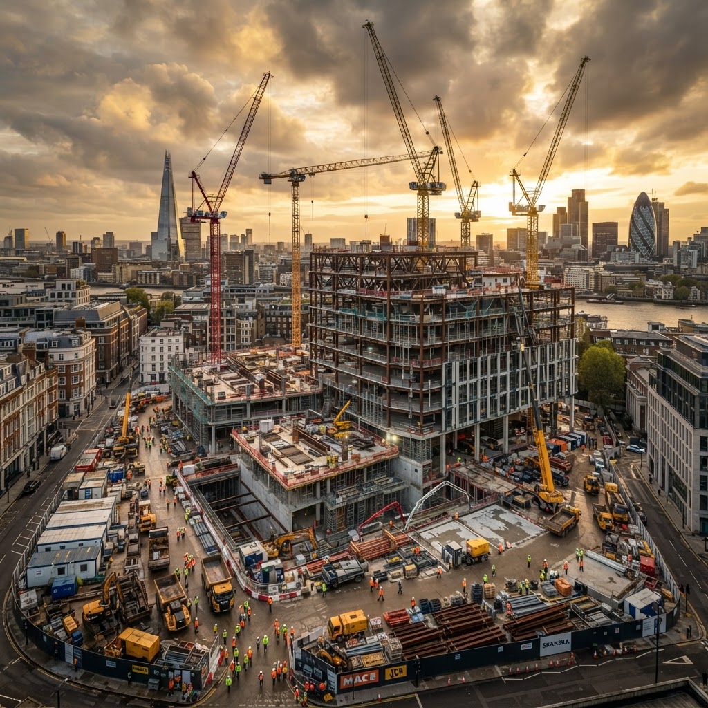
Monthly drone flights capturing the progression of a sensitive heritage-adjacent residential development in Edinburgh's New Town area.
Edinburgh New Town Extension
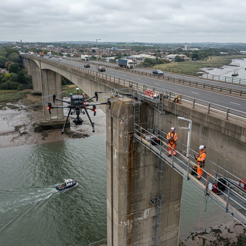
2D orthomosaic mapping and aerial surveys for a major bridge construction project, providing accurate site plans at each development stage.
Bristol Infrastructure Bridge Project
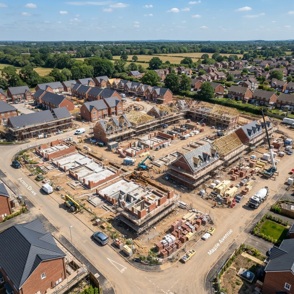
Comprehensive aerial documentation of a major mixed-use development in Manchester city centre, capturing monthly progression from groundworks through to structural completion.
Manchester City Centre Development
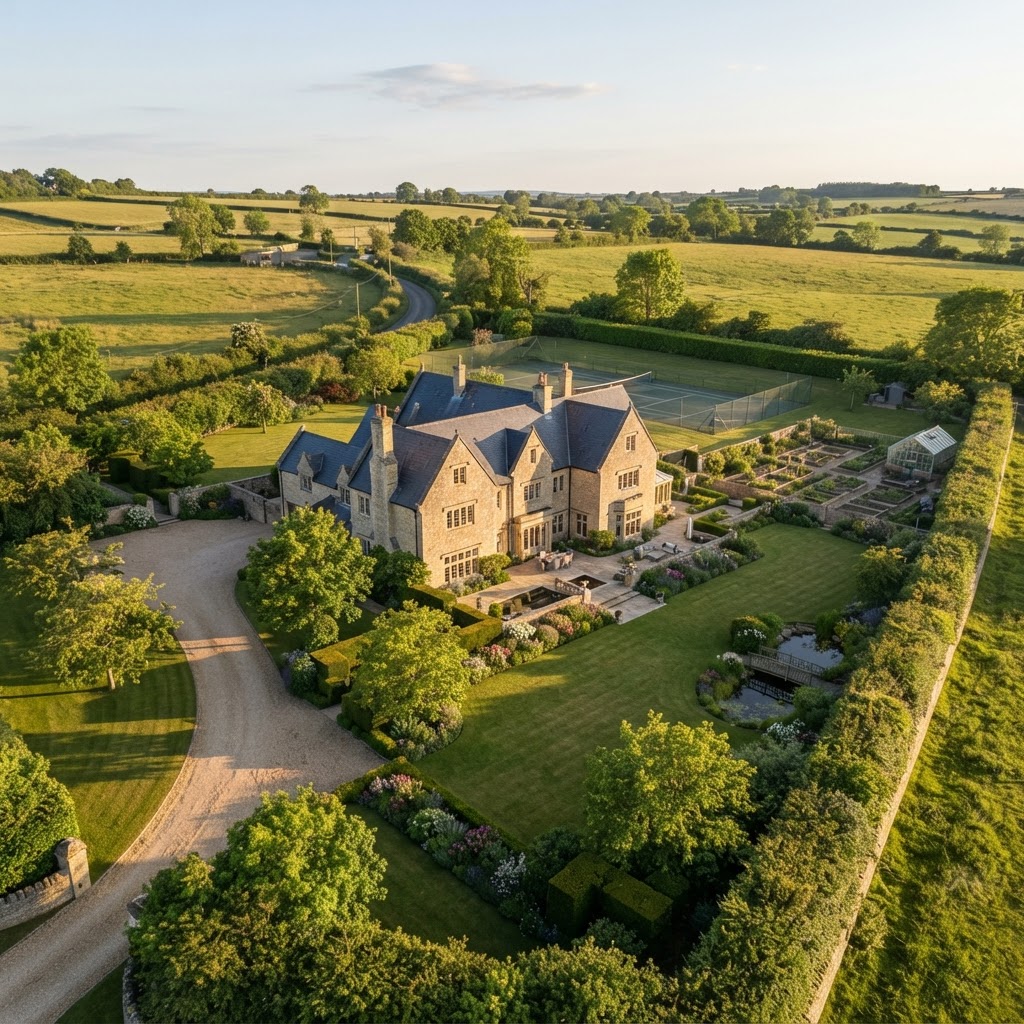
Time-lapse still imaging programme capturing the phased construction of a 200-unit residential development over 18 months.
Leeds Residential Complex
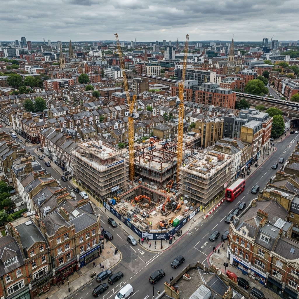
360-degree aerial imaging and video flights documenting the transformation of Birmingham's waterfront into a premium commercial district.